The Block
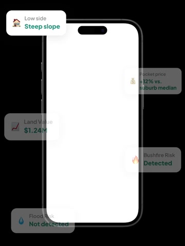
Highly usable landHighly usable land. A quiet, low-noise block on a local road with no mapped flood, bushfire, or powerline hazards, offering a straightforward and usable site for family living.

An independent, buyer-focused assessment across three pillars — the land itself, its location, and where its price sits within the market.
K-score
The Block
Highly usable landHighly usable land. A quiet, low-noise block on a local road with no mapped flood, bushfire, or powerline hazards, offering a straightforward and usable site for family living.
Convenience & Lifestyle
Very convenientVery convenient. The station is a practical 1.2km walk and the primary school is close, supporting daily routines, though shops are a longer walk.
Price Positioning
Mid-Market TierMid-Market Tier. Pocket and street data sit near the suburb median, pointing to a typical local price tier. Note: 46% rental mix suggests a balanced residential composition.
Local Road
No major road or railway nearby
Assess this property against 20+ risk factors. See full report.
Last sold
-
Owned for
-
Get deeper insights with 30 years sales history, comparable sales and a detailed price pocket map in the full report.
FREE
knest.ai App
For buyers actively searching, inspecting and comparing homes.
Everything in the full report, plus:
Ask AI experts 24/7
Guidance on risks, pricing, negotiation, suburbs, floor plans and mortgages
Compare properties
Apple-to-apple comparisons across 20+ features
Smart inspection notes
Capture image, voice and text notes, then get AI summaries
Daily recommendations
Updated property matches and reminders based on your preferences
Get the knest.ai app
Gain ultimate insights into any property
Buyer-focused property platform identifying risks, price estimates, 3D land maps and more to help you make smarter decisions — completely free.
Birrong train station is 1.2km from the property, with 19m uphill and 13m downhill elevation change. The nearest bus stop is Cooper Rd After Brunker Rd, located 573m from the property.
Primary school catchment: Birrong Public School, 855m from the property, with a Developing level rating. Secondary school catchment: Birrong Boys High School, 886m from the property, with a Developing level rating. Secondary school catchment: Bass High School, 4.1km from the property, with a Developing level rating. Secondary school catchment: Birrong Girls High School, 1.4km from the property, with a Developing level rating. Christ the King Catholic Primary School Bass Hill is the nearest private school, 2.5km from the property, serving students from K-6 and offering co-ed enrolment. Regents Park Christian School is the nearest private school, 2.6km from the property, serving students from K-12 and offering co-ed enrolment. St Felix Catholic Primary School is the nearest private school, 2.4km from the property, serving students from K-6 and offering co-ed enrolment. La Salle Catholic College is the nearest private school, 2.6km from the property, serving students from 7-12 and offering co-ed enrolment. Immaculate Heart of Mary Catholic Primary School is the nearest private school, 3.0km from the property, serving students from K-6 and offering co-ed enrolment.
Carlo'S Iga Plus Liquor Birrong is the nearest supermarket, 1.2km from the property. Regents Park Library is 2.1km from the property. Bankstown-Lidcombe Hospital is 5.1km from the property. Pobje Reserve is the nearest park, 899m from the property. Sefton Tennis Academy is 1.3km from the property. Duck River is 2.2km from the property. The coastline is 14.2km from the property. Lady Margaret Beach is 14.2km from the property.