The Block
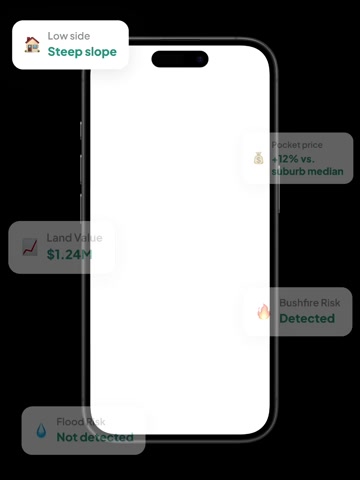
Highly usable landHighly usable land. A generous, regular block with a north-west rear aspect and no mapped flood or bushfire risk, though a partly overlooked yard and narrower frontage create modest everyday trade-offs.

An independent, buyer-focused assessment across three pillars — the land itself, its location, and where its price sits within the market.
K-score
The Block
Highly usable landHighly usable land. A generous, regular block with a north-west rear aspect and no mapped flood or bushfire risk, though a partly overlooked yard and narrower frontage create modest everyday trade-offs.
Convenience & Lifestyle
Well connectedWell connected. Lindfield station is a longer walk with a steep climb, but parks and schools are close; commuting and errands may need a car or bus backup.
Price Positioning
Upper-Mid TierUpper-Mid Tier. Pocket and recent comps sit above the suburb median, indicating a stronger local price tier and current market reference.
3.25M
948m²
R2
Low Density Residential
 Backyard faces
North West
Warm afternoon glow
Speed limit: 50 km/h
No major road or railway nearby
Low aircraft noise
Assess this property against 20+ risk factors. See full report.
Last sold
$640K
Owned for
35.9 Years
Get deeper insights with 30 years sales history, comparable sales and a detailed price pocket map in the full report.
FREE
knest.ai App
For buyers actively searching, inspecting and comparing homes.
Everything in the full report, plus:
Ask AI experts 24/7
Guidance on risks, pricing, negotiation, suburbs, floor plans and mortgages
Compare properties
Apple-to-apple comparisons across 20+ features
Smart inspection notes
Capture image, voice and text notes, then get AI summaries
Daily recommendations
Updated property matches and reminders based on your preferences
Get the knest.ai app
Gain ultimate insights into any property
Buyer-focused property platform identifying risks, price estimates, 3D land maps and more to help you make smarter decisions — completely free.
Lindfield train station is 1.8km from the property, with 37m uphill and 27m downhill elevation change. The nearest bus stop is Sydney Rd Opp Chelmsford Av, located 110m from the property.
Primary school catchment: Lindfield East Public School, 860m from the property, with a Outstanding level rating. Secondary school catchment: Killara High School, 2.9km from the property, with a Outstanding level rating. Roseville College is the nearest private school, 2.0km from the property, serving students from K-12 and offering co-ed enrolment. Holy Family Catholic Primary School is the nearest private school, 2.3km from the property, serving students from K-6 and offering co-ed enrolment. Highfields Preparatory and Kindergarten School is the nearest private school, 2.6km from the property, serving students from K-2 and offering co-ed enrolment. Mercy Catholic College is the nearest private school, 3.2km from the property, serving students from 7-12 and offering co-ed enrolment. Our Lady of Dolours Catholic Primary School is the nearest private school, 3.3km from the property, serving students from K-6 and offering co-ed enrolment.
Iga Local Grocer East Lindfield Plus Liquor is the nearest supermarket, 979m from the property. Lindfield Library is 1.8km from the property. Hirondelle Private Hospital is 3.0km from the property. Roseville Park is the nearest park, 390m from the property. Roseville Bowling Club is 2.0km from the property. Garigal National Park is 1.1km from the property. Queenscliff Beach is 9.7km from the property.